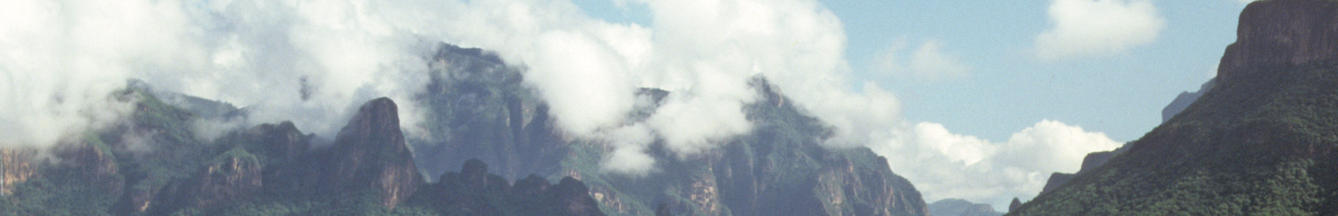
The Chihuahua-Pacifico railroad was inaugurated in November 1961. This rail line is one of the world´s finest engineering wonder with its 37 spectacular bridges and 89 amazing tunnels. The line is the only land connection between Los Mochis and Chihuahua city. To provide a world class train service to tourists, since 1998, Ferrocarril Mexicano changed the concept of this service, remodeling its fleet of passenger, bar and dinner cars for the First Class Train. Actually, the passenger can visit this beautiful area in the Northern part of México called “Copper Canyon” in a very comfortable seat, with air conditioning or heating system, clean cars and beverage and food service. In the “Chepe” the tourists can travel on the First or Economic class train, depending on plans and budget. In the following list are some of the main points of interest in the route:
km 920 | Start or End of the CHEPE in Los Mochis. |
km 838.6 | El Fuerte. This town was established late in the sixteenth century, when the viceroy of New Spain (Mexico) ordered the construction of a fort to protect settlers from the attacks of rebellious Indians. |
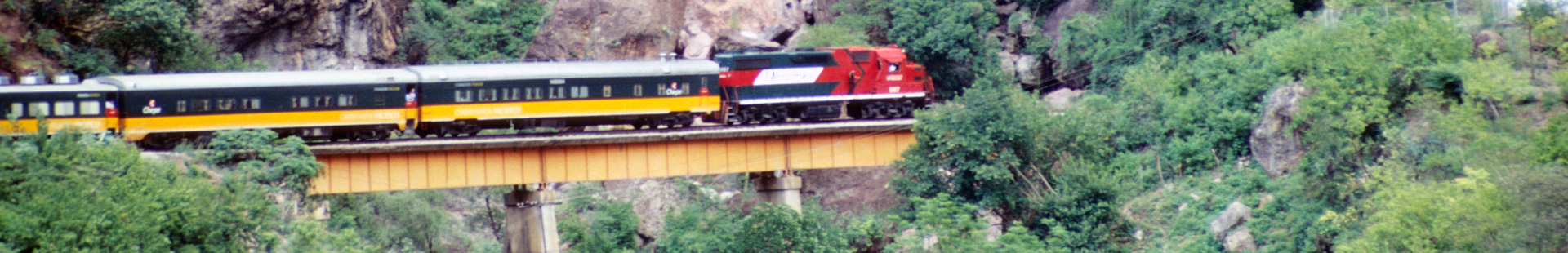
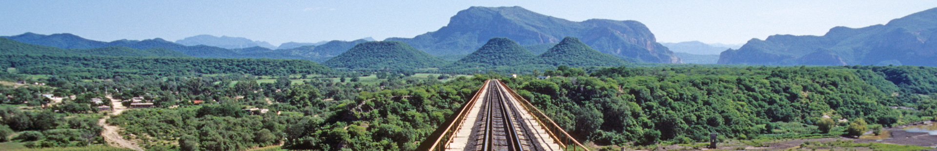
km 781 | Agua Caliente Bridge, over Rio Fuerte - this is the longest one on the railroad, 1,637 feet long. |
km 754,6 | Tunnel 86 - the last and longest in the rail line, 5,966 feet long |
km 748 | The Chinipas-bridge over the Chinipas River. This is the highest bridge on the line about 335 feet above the ground and 1018.5 feet in length. Tot he left of the bridge the Rio Septentrion joins the Rio Chinipas to form the Rio Fuerte. |
km 708 | Elevation is 3,365 feet above sea level. A mission founded by the Jesuits in 1677 named Santa Maria Magdalena de Temoris (Temoris was the name of the Indians that inhabited the region). |
km 704.8 | La Pera tunnel 49, 3,074 feet long and shaped like horseshoe, so when you come out the scenery that was on your left will be on the right. |
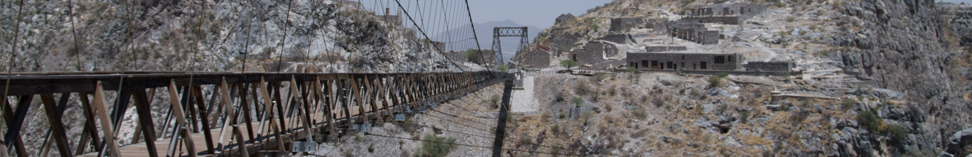
km 669 | Bahuichivo - A lumber town, this is the station where tourists going to Cerocahui should get off (10.5 miles). Father Salvatierra established Cerocahui as a mission in 1681. From that location a traveler can see the most spectacular views of Urique Canyon. |
km 626 | train station Posada Barrancas. |
km 622 | lookout point Divisadero. |
km 592 | El Lazo - Beginning a sharp descent this area is called “The Loop” because at this point the railroad makes a complete circle and crosses over itself. |
km 565 | train station Creel. |
km 562 | It is 4,134.8 feet long, the second longest in the line. As the train goes through the tunnel it also crosses the continental divide for the third time. |
km 451 | La Junta - located 6,775 feet above sea level, here you can find the longest train shop there was in the route, actually out of service. Here was the joint between La Junta, Madera and Cd. Juarez now cancelled. |
km 400 | Cuauthemoc - this city is 7,200 feet above sea level and was originally named San Antonio de Arenales. The village grew with the arrival of the railroad in 1900, but the major growth took place with the arrival of the Mennonites in 1921. In 1927 the name was changed in honor of the last Aztec emperor. |
km 268 | Chihuahua city is the capital of the largest state in Mexico. It is s one of the most beautiful and important cities in the Northern part of Mexico. It is located 4,667 feet above sea level and was founded the 12th of October of 1709 by the Spanish Captain Antonio Deza y Ulloa. |
