From Bahuichivo via Cerocahui to Barranca Urique.
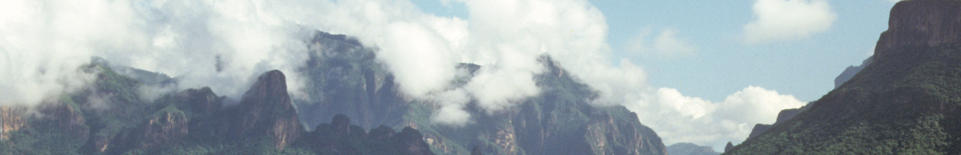
The Sierra Madre of Northern Mexico are rugged mountains difficult to cross. Only a few people live in this rough mountain region. The sparse villages usually developed out of the former (and distant) missions. The approximate 1,000 person municipality of Bahuichivo is an important stop on the railway line from Los Mochis to Chihuahua. Bahuichivo is already at 1,600 meters elevation. Most days the air is clear with a low humidity and the sunshine can be intense. Turkey Vultures circle above in the unbelievably blue sky and the mountain-slopes are covered with light filled forests. Chihuahua, Apache and Ponderosa Pine dominate the innumerable kinds of oak and the red-barked Texas Madrone, which because of its smooth surface after the red bark peels away, is also known in common terms as “woman’s leg”. Among them grow Junipers, covered by a cracked bark that resembles reptilian skin also known as “Alligator Juniper“.
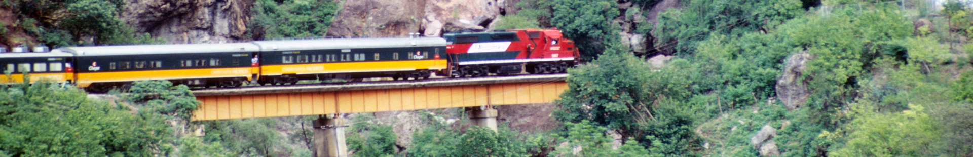
The straight poles of the pines are highly desired, and many inhabitants of the region work in the large-scale timber economy.
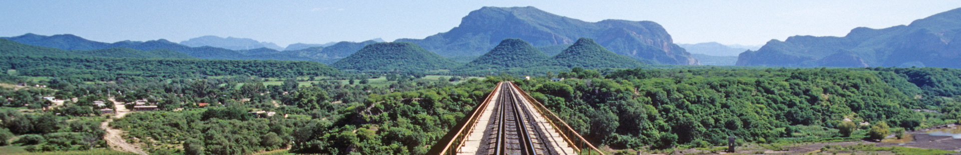
Over 12 kilometers of rough road, one reaches the village of Cerocahui. The once productive silver mines of the area today are exhausted. But in Cerocahui stands one of the most beautiful mission churches of the Sierra Madre. Founded in 1680 by the Jesuit priest Juan Maria de Salvatierra, over the centuries it became ruins.
However, it was restored under the guidance of its 20th century “modern“ successor, Padre Andreas Lara. This energetic Padre created motivation, in order to make the hard life of the region’s inhabitants more bearable. He particularly dedicated himself to the Rarámuri Indians, for whom he created a boarding school.
Likewise he advanced the building of the road, which today makes a particularly impressive experience possible for the traveler; the descent of the Barranca Urique. Some kilometers beyond Cerocahui one reaches the edge of this enormous canyon at the lookout point of Cerro Gallegos. The view is breathtaking. One stands at approx. 2,300 meters elevation, overlooking Urique along the river of the same name on the floor of the canyon, with the small town as if a toy for the seizing, however, it is over 1,800 meters below.
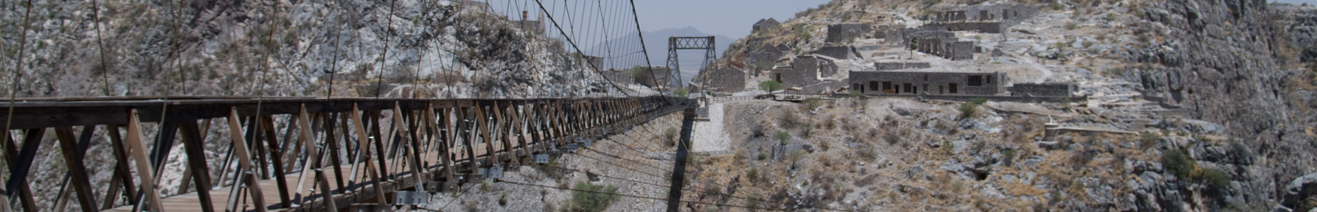
The road to the silver belt and the river at the bottom of the Canyon drops steeply in zigzags. With each meter descent into the Canyon it becomes warmer and the pine and oak forests quickly give way to Agaves and Mesquite trees. In the spring rose and white flowering climbers animate the slopes. They belong to the winding Bignoniaceae – Bignonia Family.
At the bottom of the Canyon find green zones amid a subtropical thorn-forest. During the winter months this is an ideal climate! Urique is a world in itself. Picturesque on the banks of the broad, shallow river, not much seems to have changed here since its founding in 1690, although the town administers a large area – nearly 4,000 km² – as the cabicera municipio (municipal district seat). Many of the approx. 2,000 inhabitants make a living from the cultivation of peanuts, mangos, papayas, avocados and citrus fruits. Only since 1976 has Urique been accessible by road, before that the only means of transportation were donkeys and horses. Nevertheless one should plan for at least 4 hours by sturdy car to make the 25 km journey from Cerocahui. Urique was connected in 1995 to the telephone network and only since 2001 supplied with continuous electricity. Tourism is still in its beginnings; small hotels offer acceptable accommodations.
Adventurous raft tours on the fast flowing Río Urique are organized by local operators and now available – ask us!
